You cannot explain H Street NE without explaining April 1968, and you cannot explain the festival without explaining what the street was like for the forty years afterwards. This page covers both, as plainly as possible.
Before
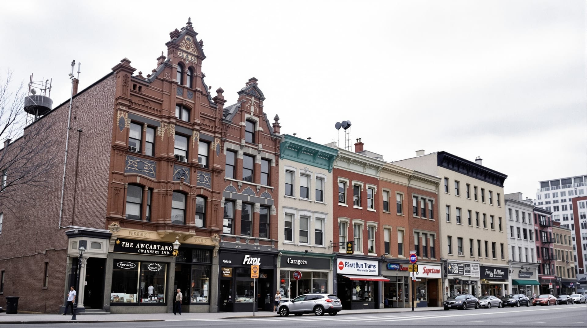
For the first half of the twentieth century H Street NE was one of Washington’s three or four major retail corridors — the shopping street for a large, dense residential district of rowhouses stretching north and south of it. It carried department stores, groceries, furniture and clothing shops, cinemas, banks, lunch counters and professional offices, and it was served by streetcars from the beginning. The building stock reflects it: a near-continuous wall of purpose-built commercial structures, most of them two or three storeys, most of them put up between roughly 1900 and 1940.
It was also a segregated street in a segregated city, and by the 1950s and 1960s it served a predominantly Black neighbourhood while a substantial share of its businesses were owned by people who did not live there. That gap between who traded on the street and who lived around it is essential background to what followed.
April 1968
Following the assassination of Dr Martin Luther King Jr on 4 April 1968, civil disturbances broke out across Washington. H Street NE was one of three corridors — with 14th Street NW and 7th Street NW — that sustained the most damage. Fires and looting over several days destroyed or badly damaged a large proportion of the corridor’s commercial buildings. The National Guard was deployed; the city was under curfew.
The Smithsonian’s National Museum of African American History and Culture holds material on the period and its national context, and the Library of Congress holds extensive photographic documentation of Washington in 1968.
Why the damage was the smaller problem
This is the part that gets lost. Physical destruction is repairable in a few years given capital. What was not repairable in a few years was everything that followed it:
- Insurance withdrawal. Cover became difficult or impossible to obtain on the corridor, which made rebuilding uninsurable and therefore unfinanceable.
- Credit withdrawal. Lending against corridor property effectively stopped, so even owners who wanted to rebuild often could not borrow to do it.
- Retail flight. Chains and larger independents that could relocate did so, and did not come back. The regional shopping centres absorbed the trade.
- Population loss. The surrounding neighbourhoods lost residents steadily for three decades, shrinking the customer base the street depended on.
- Reputation. A corridor with a national reputation for one bad week in 1968 spent decades unable to persuade anyone to open on it.
The result was a street with intact bones and hollow contents: surviving buildings occupied at ground level by low-rent uses, vacant upper floors, and long gaps where nothing had been rebuilt.
Four decades of attempts
The corridor was not neglected by the city so much as repeatedly and unsuccessfully targeted by it. Successive administrations produced plans: a shopping-centre-style redevelopment in the 1970s, streetscape and facade programmes, targeted commercial-lending initiatives, an enterprise-zone designation, and — in the 2000s — a strategic development plan that finally divided the corridor into the three functional zones still used to describe it. The current planning record is held by the DC Office of Planning.
Through all of it the festival continued. It is one of the few threads of continuity between the street’s pre-1968 life and its present one, which is a large part of why it carries the weight it does locally. See the festival’s history for that lineage.
What finally worked
The corridor’s turn, when it came in the 2000s and 2010s, was not the product of a single intervention. Several things arrived close together: an arts and entertainment district designation that gave the eastern blocks a distinct identity and a reason for people to travel there at night; liquor licensing that supported a dense concentration of bars and restaurants; a great deal of new residential construction, both on the corridor and in the surrounding rowhouse blocks; a major streetscape reconstruction; and a streetcar line. Read more on the Atlas District and getting there.
None of this was uncontested and none of it was costless. The same decade that brought investment brought sharp increases in rents and property values, the displacement of long-standing residents and businesses, and a change in who the corridor was serving. Any honest account of H Street has to hold both facts at once: the street was rescued from a genuinely dire forty-year decline, and a significant number of the people who held it together through that decline did not get to stay.
Reading the street today
Walk the corridor and the whole sequence is legible in the facades. Pre-war commercial buildings with their original cornices intact. Blank mid-century infill where something burned. Recent glass-and-brick apartment blocks on the largest cleared sites. Ground floors that have been re-fronted three times. It is an unusually readable street, and knowing what you are looking at makes the walk considerably more interesting — see walking the corridor.