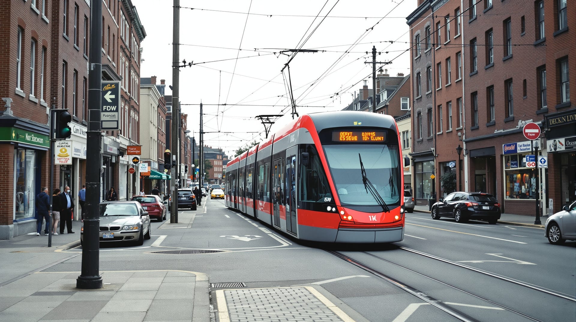
H Street NE is one of the few significant Washington corridors without a Metro station on it, which shapes how everyone gets there. In practice you arrive on foot from the main railway terminus, by bus, or on the streetcar. This page covers the options and their real-world trade-offs. Service details change, so check the operators directly before travelling — links below.
The streetcar
The corridor is served by the DC Streetcar, a surface light-rail line running in mixed traffic along H Street and Benning Road, from just east of the main railway terminus to the corridor’s eastern end and beyond. It is the corridor’s signature piece of transport infrastructure and the visible result of a very long reconstruction of the street.
What it is good at: it runs the length of the corridor, stops frequently, is fully accessible, and — at time of writing — has been fare-free since it opened. What it is less good at: it runs in mixed traffic with no dedicated lane, so it is only as fast as the cars in front of it, which on a busy evening means walking is often quicker. Treat it as a pleasant and accessible way to cover the corridor rather than as a fast link. Current operating information is published at dcstreetcar.com, run by the District Department of Transportation.
On festival day the line is normally suspended across the closed section — a closed street cannot carry a tram. Assume it is not running and plan on foot.
Metro
There is no station on the corridor. The realistic options are the main railway and Metro interchange at the corridor’s western end, which is a short and straightforward walk over the bridge into the west end of H Street, or stations to the south and west that leave you a longer walk in. For most visitors, the railway terminus is the answer: it is served by several Metro lines, regional and intercity rail, and a large number of bus routes.
Plan journeys with the Washington Metropolitan Area Transit Authority, which operates both Metrorail and Metrobus.
Bus
The corridor is well served by buses — it carries one of the busiest bus corridors in the District, running east–west along H Street and Benning Road, plus north–south routes crossing it. For many Washington residents the bus is simply the default way to reach the street, and it remains the most frequent service on the corridor.
As with the streetcar, expect east–west routes to be diverted around any street closure on festival day.
Walking
Walking in from the railway terminus takes about ten minutes to the west end of the corridor and about forty-five minutes to the eastern end at a browsing pace. It is flat the whole way, the pavements are wide and modern following the streetscape reconstruction, and the walk itself is the point — see walking the corridor.
On festival day walking is not merely an option but the only sensible plan for anyone already in the closed section.
Cycling
The corridor is cyclable but the streetcar rails demand real care: a bicycle wheel dropped into a flangeway is a common and nasty way to fall. Cross rails at as close to a right angle as you can manage, and prefer the parallel residential streets one block north or south for through journeys. The District’s regional bikeshare system has docks on and around the corridor, and the city publishes cycling infrastructure information through DDOT and the travel-planning service goDCgo.
Driving and parking
Possible, and rarely worth it. On-street parking on the corridor is metered, limited and heavily contested; the surrounding residential blocks are mostly permit-controlled. On festival day the corridor is closed outright and parking anywhere within several blocks is effectively unavailable. If you must drive, park well away and walk in, and read the residential permit signs carefully — enforcement is active.
Accessibility
The streetcar is level-boarding and step-free, buses are accessible, and the reconstructed pavements have consistent kerb ramps across the corridor. The main accessibility difficulty is crowd density on festival day rather than the built environment: the closed roadway is flat and step-free, but the crush in the middle of the afternoon is genuinely hard to navigate with a wheelchair or a pushchair. Early in the day is much easier — see the visiting guide.
Conclusion
The practical summary is short. On an ordinary day, arrive at the railway terminus and walk, and use the streetcar if you want to cover ground gently. On festival day, arrive by rail or bus to the edge of the closure and walk in, and do not attempt to drive.